← krmaps.com Free U.S. shipping  ·  Printed in the U.S.A. All of KR Maps Press →
How it works

Your trip already
wrote the book.

You lived the story; your photos kept the notes. Travel Books reads them back — the days, the places, the roads between — and hands you a finished first draft. Everything on this page is an unedited export from a real book.

The magic

Your photos find their places.
The path draws itself.

Every photo you take already carries a time and a place. Drop a trip in, and each shot lands where you took it, the route threads between them, the chapters find themselves, and the whole journey becomes the opening spread of your book.

1 Your photos come in

292 photographs, straight off the phone. Each already carries the only two facts that matter — a when and a where.

2 Moments are noticed

Gaps in time and jumps on the map split the pile into moments. No albums, no sorting, no tagging.

Tanjung Puting · 3–4 Aug
Yogyakarta · 5–7 Aug
Rantepao · 10–13 Aug
3 Spreads are derived

Each moment lays out its own pages — a chapter opener, spreads of your photographs, the day’s map drawn between them.

The Yogyakarta chapter-opener spread, derived on its own
Yogyakarta → its chapter opener
A full spread of photographs, laid out between the maps
Your photos → page spreads
A single day’s map page, drawn from the route
One day → its own map page
4 The journey opens the book

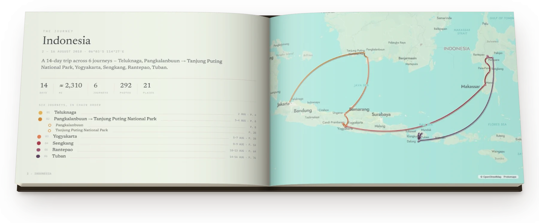
A real export — Indonesia, 14 days, 292 photographs, the route drawn from the photos’ own GPS. No templates, no sorting, no design skills required.

The printed opening spread: Indonesia, the whole route drawn across the map
No. 1No forms, no pins to place

Every photo already knows when and where.

That’s all a Travel Book needs. The whole journey reassembles itself and becomes your opening spread, before you’ve typed a word.

The opening spread of a real book: Indonesia, with the whole 14-day route drawn across the map
Actual export · 14 days · 292 photographs · 6 journeys, drawn from their own GPS

The book drafts itself on your own machine.

Your photos are read here, in this browser — no upload, no account, and nothing that looks at your pictures. They only travel when you choose to save a book link, invite someone to add theirs, or order the print. To draw the maps and fill in each day’s weather we send a few coordinates and dates: a dot on a map, never a photograph.

Read the whole policy

No. 2Maps that know how you moved

Every stretch gets the map it needs.

Each map is drawn at the scale that stretch of the trip earns — a crossing wide, a day on foot down to the street. And it reads how you moved — a drive becomes a getting-there page, a hike gets its trail, a market morning gets a street-level map with every photo pinned.

A full-spread map of the drive from Salzburg to Linz
The drive from Salzburg to Linz — 67 mi, drawn across the fold
A day map: Yogyakarta, with 40 photographs numbered on a street map
One day in Yogyakarta — 40 photographs, 11 pins, one street map
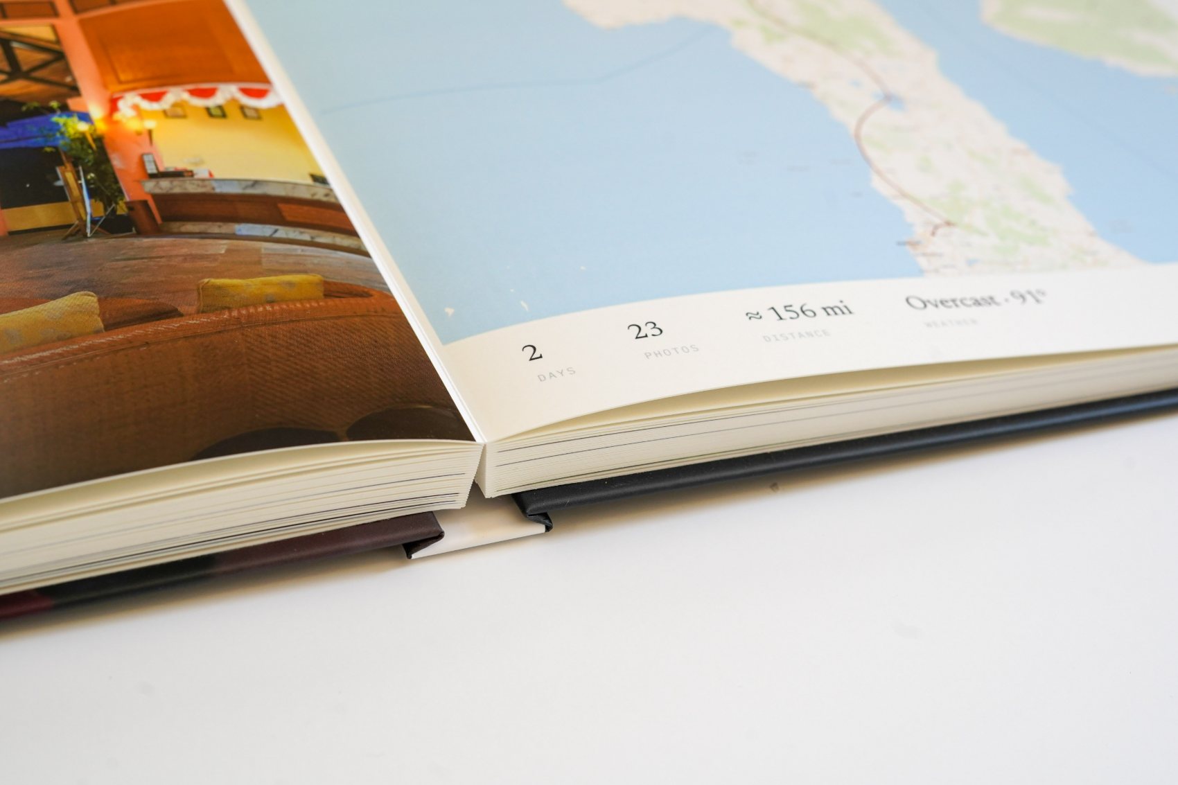
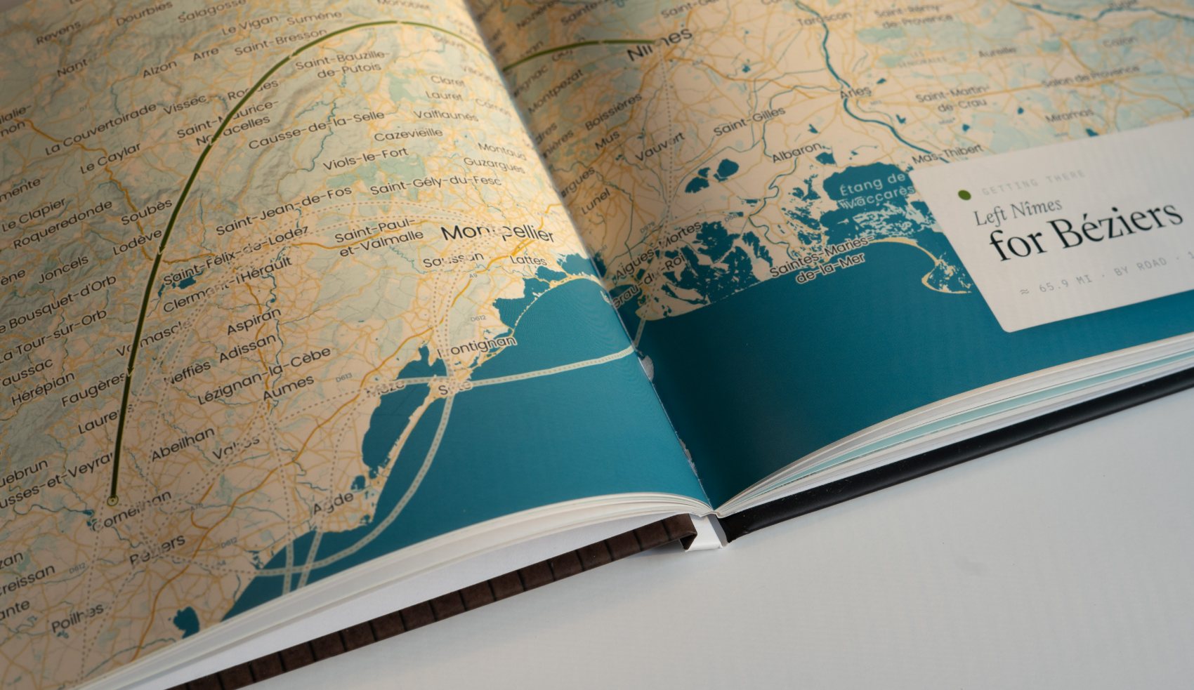
A printed Travel Book lying open, the pages meeting almost flat at the binding
The printed article — a lay-flat book open on a chapter map, readable all the way through the middle
What makes it different

The map is the whole point.

Real cartography

Every chapter opens on a map drawn from real geographic data and printed at 300 DPI, in styles made to echo the palettes of our wall maps.

Your actual route

The path you traveled is traced point-to-point across the page, so the book tells the where of the trip.

Composed, then yours

Chapters, captions and layout are drafted for you. Then every caption is a field, every photograph can move, and every page can be recomposed.

No. 3It’s a photo book first

Mostly, it is your photographs.

Spread after spread of pictures, in the order you took them. A map turns up when a day needs placing, then the photographs pick straight back up. Twelve spreads in a row from one chapter, nothing skipped.

Chapter opener spread
Chapter opener
Photographs spread
Photographs
Photographs spread
Photographs
Photographs spread
Photographs
The day map spread
The day map
Photographs spread
Photographs
Photographs spread
Photographs
Photographs spread
Photographs
Photographs spread
Photographs
Photographs spread
Photographs
Photographs spread
Photographs
Getting there spread
Getting there

33 of the 52 spreads in this book are photographs. The maps are the other third. They’re there to say where you were.

No. 4Chapters find themselves

Your trip already has chapters.

A cluster of days in one place. A clear break. Another cluster somewhere new. That shape becomes the table of contents, and every chapter opens on the whole journey, with its own stretch lit and the rest left faint around it.

Chapter 1 opener
Ch. 1 Teluknaga 2 Aug · 5 photographs
Chapter 2 opener
Ch. 2 Pangkalanbuun → Tanjung Puting 3–4 Aug · 39 photographs
Chapter 3 opener
Ch. 3 Yogyakarta 5–7 Aug · 101 photographs
Chapter 4 opener
Ch. 4 Sengkang 8–9 Aug · 23 photographs
Chapter 5 opener
Ch. 5 Rantepao 10–13 Aug · 43 photographs
Chapter 6 opener
Ch. 6 Tuban 14–16 Aug · 81 photographs
No. 5Nothing to configure

The shape of your days sets the pages.

Several stops in a week, a real climb, the sky on a given afternoon — the trip’s own signals decide what each spread becomes. You don’t ask for any of it.

The moments it finds

It already knows what kind of moment it is looking at.

Your camera wrote a time and a coordinate into every frame. Plain arithmetic on those turns them into acts — a morning that never moved, a line across water, a climb — and asking the map what stands at those coordinates says what each act was.

Fourteen readings, shown here across one 14-day journey through Indonesia.

What the ground says a named place under the pins, read off the map itself
The landmark · Borobudur

Two hours at Borobudur

Day 05 · 6 Aug · 05:10–07:14

A named landmark under every frame, and two hours barely moving.

2h 04mHeld still
31Photos
07°36′S 110°12′ECoordinates
Clear · 79°Weather
The market · Pasar Bolu

The market at Pasar Bolu

Day 10 · 11 Aug · 06:40–09:15

A marketplace on the map, and a morning that never left it.

2h 35mIn place
52Photos
340 ftAcross
Overcast · 84°Weather
A meal · Yogyakarta

Sate, twice

Day 06 · 7 Aug · 19:40–21:28

A restaurant on the map and a table held for most of two hours.

1h 48mAt the table
9Photos
30 ftAcross
19:40From
The show · Prambanan

The Ramayana, outdoors

Day 04 · 5 Aug · 19:30–20:40

A stage or theatre named at the centre of the frames.

1h 10mThrough it
16Photos
19:30From
Clear · 76°Weather
Wildlife · Tanjung Puting

Orangutans at Tanjung Puting

Day 03 · 4 Aug · 07:05–09:45

A reserve polygon around the frames, and animals named inside it.

2h 40mThere
38Photos
Tanjung PutingThe reserve
Overcast · 88°Weather
Along the shore · Tuban

An hour on the sand

Day 14 · 15 Aug · 15:20–16:07

A named beach under the cluster, and nothing stronger to go on.

47 minThere
12Photos
6 ftElevation
Clear · 86°Weather
On the water · Sekonyer River

Up the Sekonyer

Day 02 · 3 Aug · 14:05–16:20

A harbour at one end, then a line no road could have followed.

2h 15mAboard
≈ 6.2 miOn course
21Photos
Rain · 79°Weather
A printed meal spread from the Indonesia demo book: the warung in full bleed, facing the ‘Sate, twice’ card with the order printed like a receipt
The meal it found, printed — “Sate, twice”, from the Indonesia demo book: the table in full bleed, the order like a receipt
What your movement says pace, distance and height between one frame and the next
On foot · Kete Kesu

Kete Kesu, on foot

Day 09 · 10 Aug · 09:20–10:55

Walking pace inside a quarter that has a name of its own.

1h 35mOn foot
≈ 1.2 miDistance
27Photos
280 ftAcross
A hike · Batutumonga

The walk up to Batutumonga

Day 12 · 13 Aug · 07:40–10:30

A purposeful line over wild ground, climbing most of the way.

2h 50mWalking
≈ 3.4 miDistance
620 ftGain
34Photos
The summit · Mount Sesean

The top of Mount Sesean

Day 11 · 12 Aug · 04:20–09:05

Climbed onto the highest ground in the book, and the peak has a name.

1,960 ftGain
6,890 ftUp top
4h 45mMoving
44Photos
A ride · Yogyakarta → Solo

The train east

Day 06 · 7 Aug · 08:40–09:45

A station at one end, then a straight, sustained line at rail speed.

1h 05mAboard
38 miOn rails
11Photos
08:40From
A printed shore spread from the Costa Brava demo book: four photographs of empty January coves, and a map of the walk along the Lloret shore with each photo numbered on it
A shore reading, printed — “The coves in January”, a mile and a half along the Lloret coast with every photo numbered on its own map, from the Costa Brava demo book
What the sun says the solar clock at your own coordinates, no map needed
Golden hour · Lake Tempe

The lake, all gold

Day 07 · 8 Aug · 17:34–18:09

Every frame inside the last of the light. The one reading that needs no map.

18:12Sunset
17:34–18:09In the light
19Photos
Clear · 82°Weather
After dark · Tuban

After dark in Tuban

Day 13 · 14 Aug · 20:05–22:47

Every frame after dusk. Lamplight, and shutters held open.

20:05From
22:47Last frame
23Photos
Drizzle · 76°Weather
A printed after-dark spread from the Indonesia demo book: Plaza Malioboro at night under neon and shop signs, the photograph running across both pages with the evening’s card set into it
An after-dark reading, printed — Plaza Malioboro at 19:32, one photograph carried across the whole spread, from the Indonesia demo book
When nothing else claims it enough photographs in one place to earn a page anyway
An experience · Sengkang

An afternoon at Sengkang

Day 08 · 9 Aug · 13:15–14:35

The map offers nothing to name it by. It still earns a spread, and the words are yours.

1h 20mThere
17Photos
SengkangPlace
Clear · 90°Weather

Nothing on these cards was typed in. Times, spans, distances and heights are arithmetic on the timestamps and coordinates already inside your photographs; the names — the market, the reserve, the peak, the quarter — come from looking those coordinates up on the map. Every number is yours to type over. The line about what actually happened is the part we leave to you.

Organized for you

More than one place? Back a second time?

A trip that winds through several stops — or returns to the same place twice — sorts itself. The builder reads the shape of your days and organizes the photos into moments automatically.

The hike & the summit

Scale a mountain?

A real climb reads as a hike from the frames alone, and the book keeps the numbers. Distance, elevation gain, high point and time moving are computed from the timestamps, coordinates and altitudes your camera already writes, printed in a ledger beside the day’s own elevation profile. Photograph the walk as you go and those same frames become the trail: a map of the path you actually took, drawn point to point.

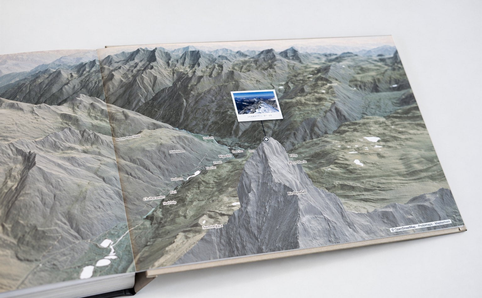
And when you top out, the summit earns a spread of its own — an immersive 3D landscape of that very terrain, your route drawn up it. A fully customizable scene.

A summit spread: the Matterhorn in 3D relief with the climber’s own photograph planted at its coordinates
An exported hike spread: the trail up Angels Landing drawn from the photos taken along it, an elevation profile, and the walk’s own numbers in a ledger
The hike spread — the trail drawn from the frames taken along it; distance, gain, high point and moving time read from the walk itself
An exported summit spread: Angels Landing in 3D relief, the route drawn up the rock and the photograph from the top pinned at its own coordinates
Drag to turn
The summit spread — the top of that same walk: the terrain itself in 3D, the height reached, and the photograph taken up there pinned at its own coordinates. This one turns: press the button and the real engine mounts — about 25 MB of live terrain, and nothing until you ask.
2 Aug · 31° 3 Aug · 27° 4 Aug · 24°
Day by day

Recall the weather from each day of the journey.

Clear, overcast, or rain — the sky from every day of your trip is read back and kept beside its pages.

No. 6Yours to change

A first draft, not a verdict.

The book arrives composed so that you never start at a blank page — but every part of it is a control. Write over the words on a chapter opener. Drag a photograph into another’s place. Recompose a page. Put a different style on the maps. Below is the actual studio, recorded: four edits, nothing staged.

Your own words, on the opener

Every chapter opens on a note, and the studio starts it for you. Tap the line and it becomes a field with that first draft already in it — write over it and the page follows as you type, in the same hand it prints in.

Drag a photograph where you want it

Hold a picture and carry it into another’s place. The two trade slots on the spot — and if the one you dropped it on was sitting out, the picture it replaced goes back to that day’s shelf. Nothing is lost either way.

The same page, recomposed

Pages offer a handful of arrangements — photographs beside the map, one frame with the story, the words on their own, a single picture across the whole spread. Same photographs, same day, different page.

A style, over the whole journey

The journey map opens the book, so it is the one worth playing with. Turn the relief on, then try the styles against it: each is ink on the map and a tint on the paper it prints on, and one tap can carry it through every map in the book.

Every panel sits beside the page it belongs to, so nothing sends you into a settings screen. Change your mind and Start this page over puts a page back the way it arrived — the rest of the book untouched.

No. 7Make it yours

Any journey. A look of its own.

Choose a map palette that brings your trip together. The same palettes that have been going on KR Maps walls for years now set the maps inside your book — one choice, the whole book, a weekend on foot or half the world.

A city, on foot

Subtle Pastel map style — two days in Paris
Subtle Pastel Paris
Heirloom map style — two days in Rome
Heirloom Rome
Lagoon map style — two days in Venice
Lagoon Venice
Dusk Rose map style — two days in Kyoto
Dusk Rose Kyoto
Colorpop map style — two days in Tokyo
Colorpop Tokyo

At street level the palette has the most to say: every park, canal, rail line and block takes its colour from the one you choose.

The open road

Soft Lavender map style — Provence road trip
Soft Lavender Provence
Lemon map style — The Amalfi drive road trip
Lemon The Amalfi drive
Terra map style — Canyon country road trip
Terra Canyon country
Muted Tones map style — The Highlands road trip
Muted Tones The Highlands
Blue Light map style — Iceland road trip
Blue Light Iceland

Out of town the land does the talking — relief, forest, coastline and the roads between them, all drawn in the same style.

Across the world

Seafoam map style — a book page across the pacific
Seafoam default Across the Pacific
Solterra map style — a book page london to singapore
Solterra London to Singapore
Warm Neutral map style — a book page the length of africa
Warm Neutral The length of Africa
Executive map style — a book page four cities in one week
Executive Four cities in one week

Actual exports — fourteen of the styles in the studio, each set loose on a journey of its own.

The maps

Styled after our wall maps.

Coastlines, terrain, and place names are rendered from real geographic data, and many of the book’s map styles were designed to echo the look and color palettes of the wall maps we’ve made for the last ten years. Your route is then drawn across the top, one point at a time, exactly where you went.

A printed map page at an angle, the route line looping out and back above the day ledger
No. 8The object itself

Made to be handled.

Two bindings, one size — A4 landscape, 11.7 × 8.3 inches, opening to 23.4 inches across a spread — printed at 300 DPI on heavy stock with a matte-laminated hard cover. Everything below is the real specification we send to the press.

A hardcover Travel Book open on a full-spread map

Hardcover

From $46.95

Case-bound with a printed cover and a squared spine. The classic photo-book feel. It stands on a shelf and holds its shape for decades.

Paper
200 gsm
Pages
24 – 252
Spine
From 9.5 mm
A lay-flat Travel Book, its pages meeting almost flat at the binding

Lay-flat — best for maps

From $89.95

Hinged so every spread opens almost completely flat. A map that runs across the fold stays readable all the way through the middle.

Paper
190 gsm
Pages
18 – 122
Opens
Near flat
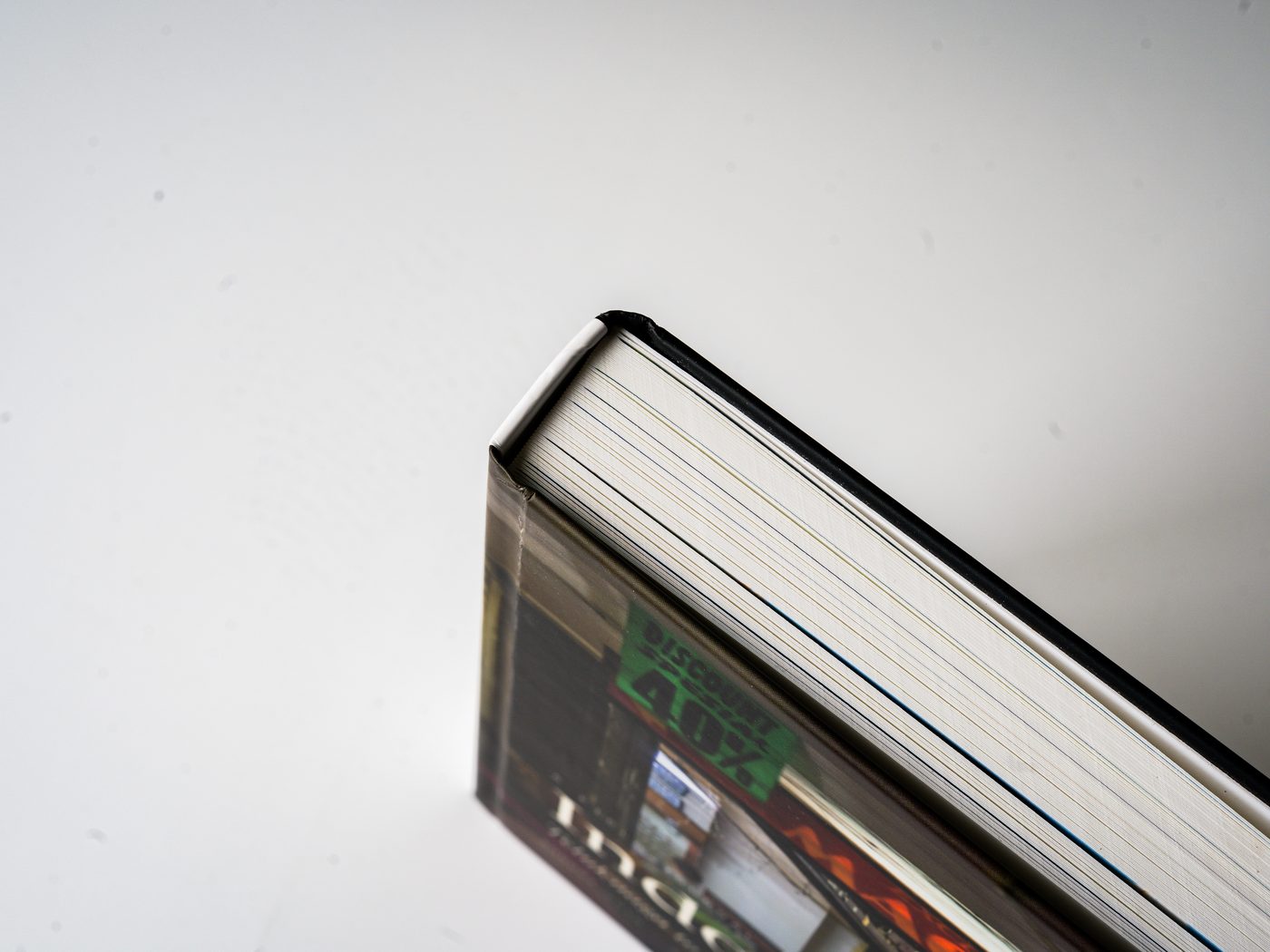
The closed book seen from the side, its page edges fanned in raking light
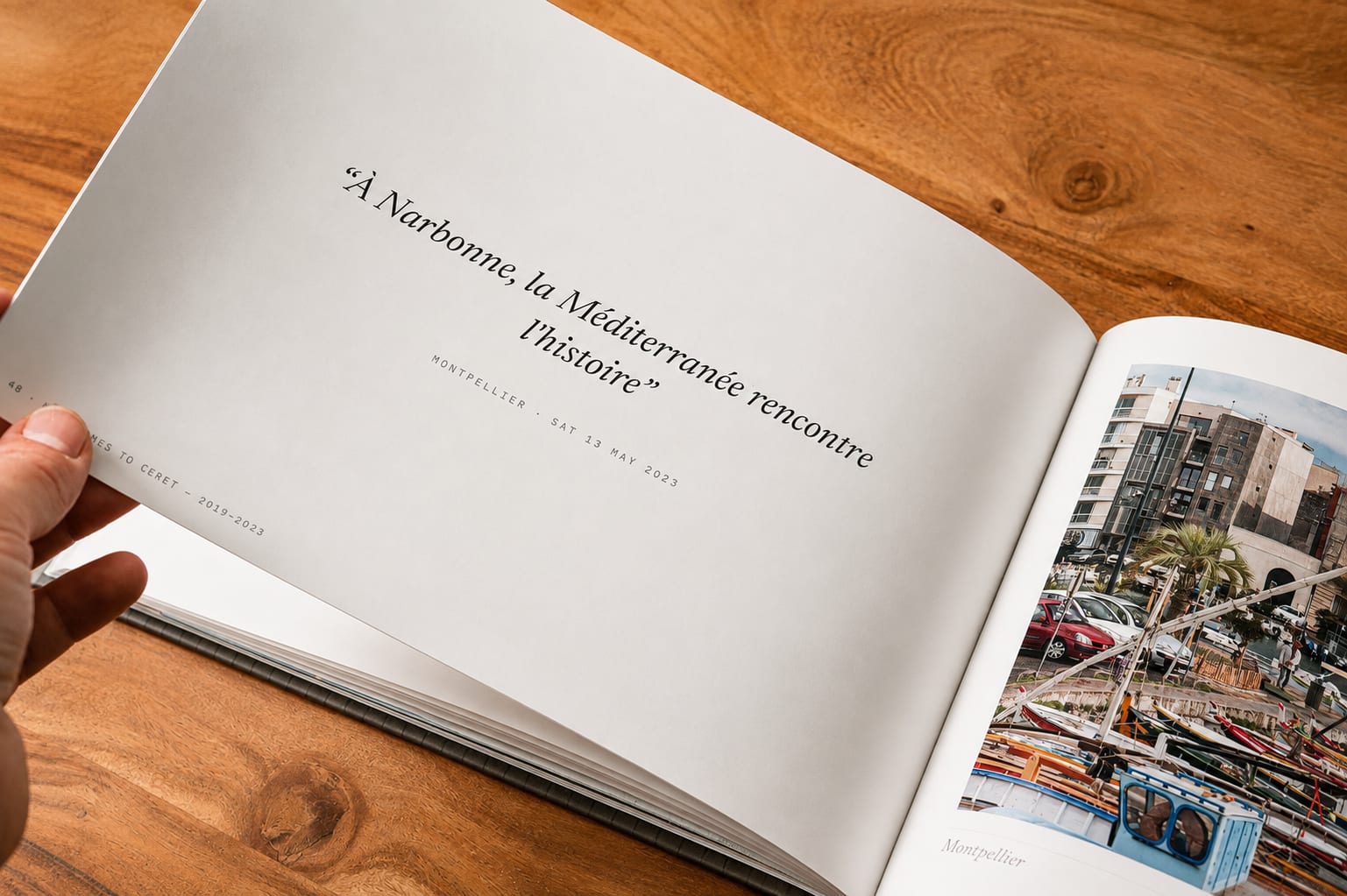
A hand lifting a page mid-turn, a chapter quote page facing a full-bleed photograph
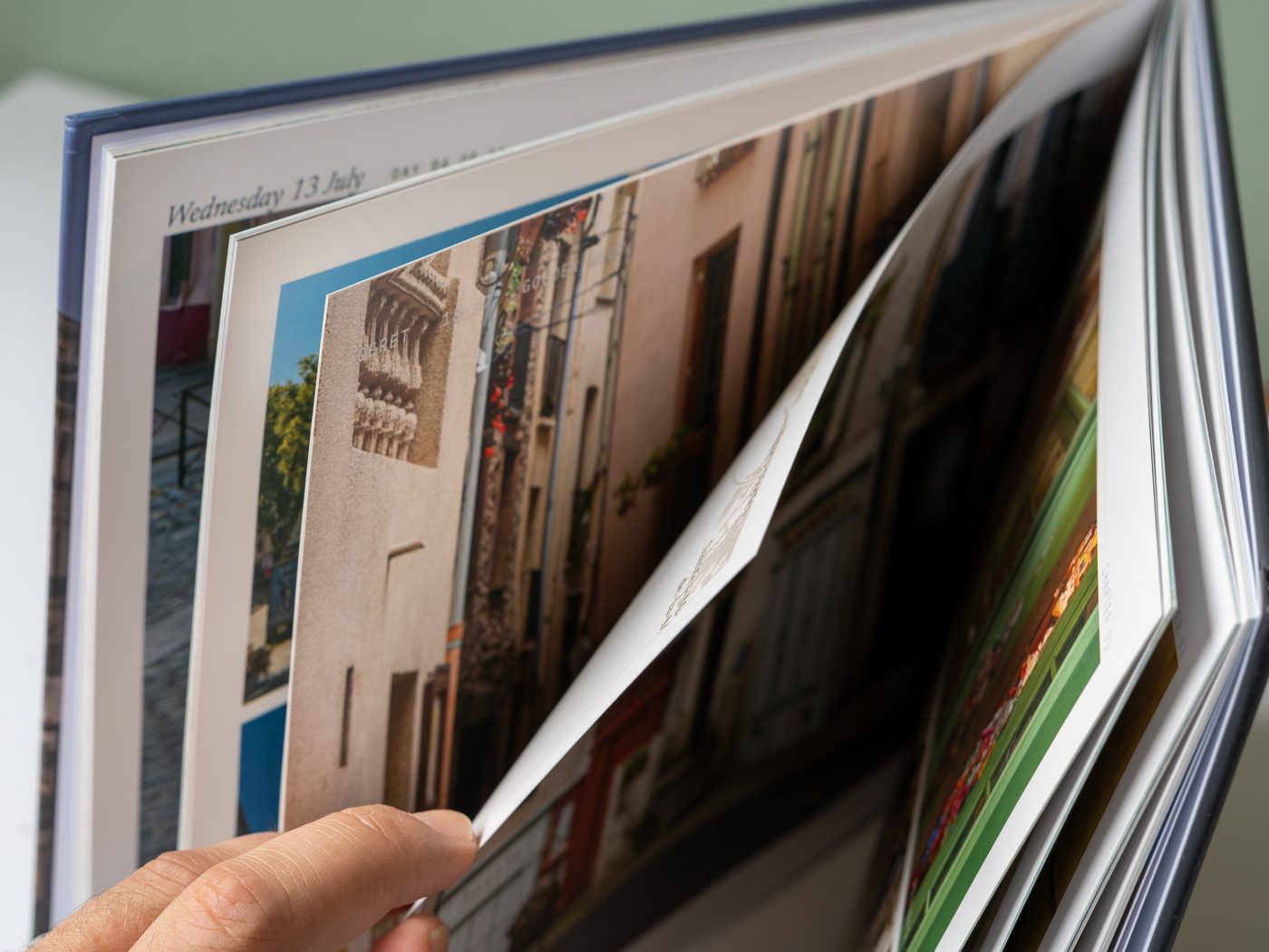
A hand turning a page in the open book
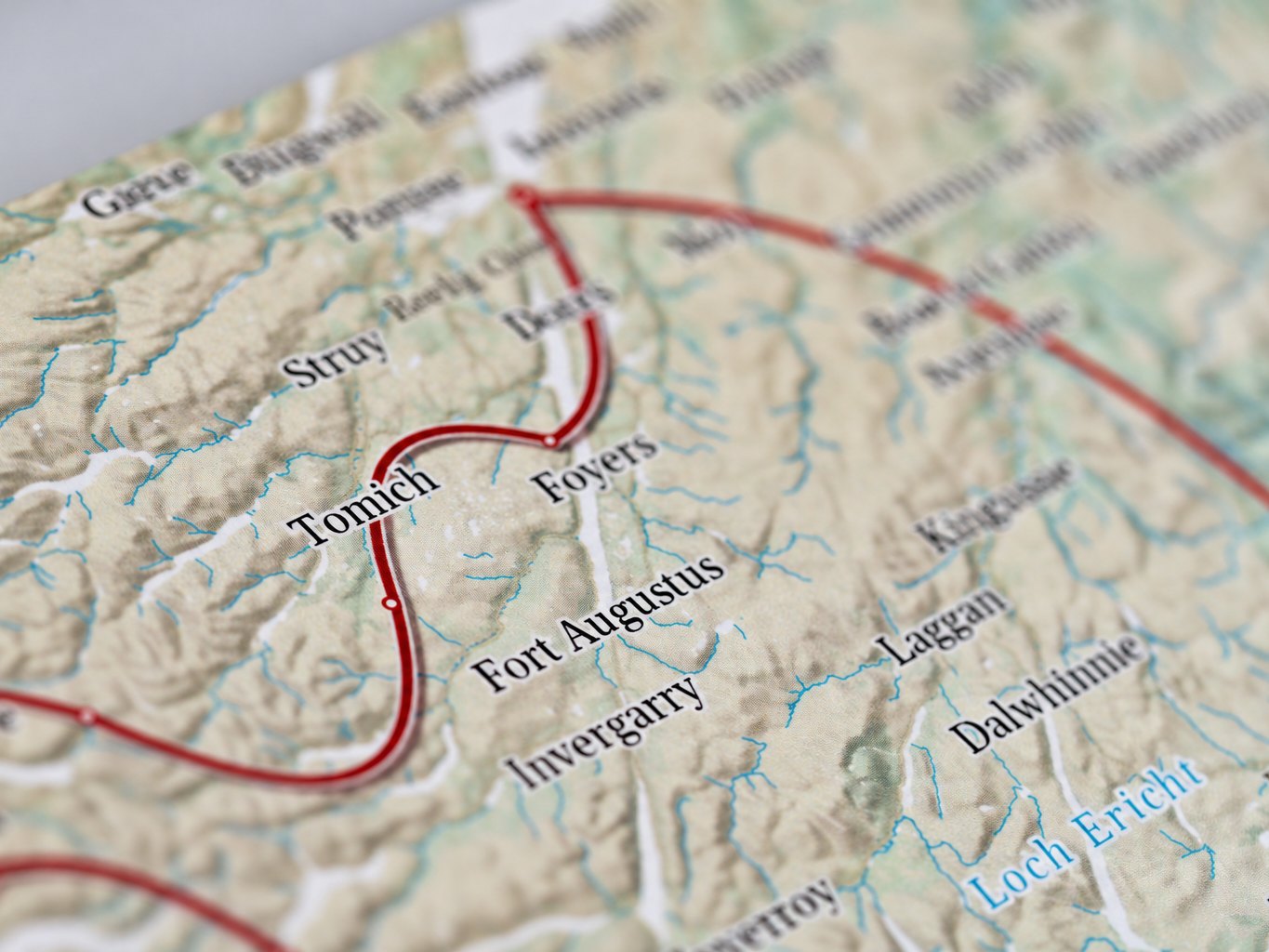
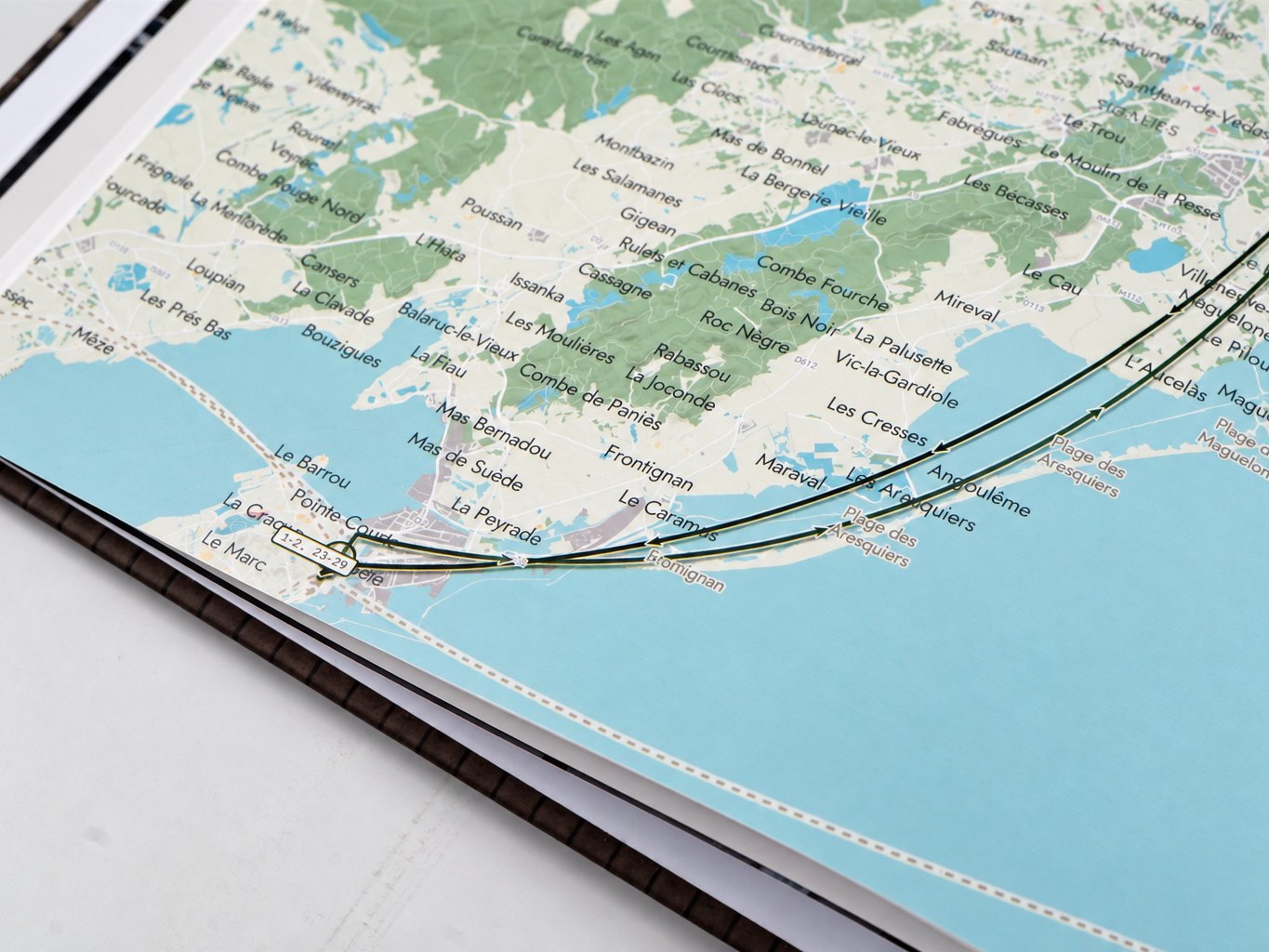
Close-up of a printed map page — town names, the route line and the fine road hairlines
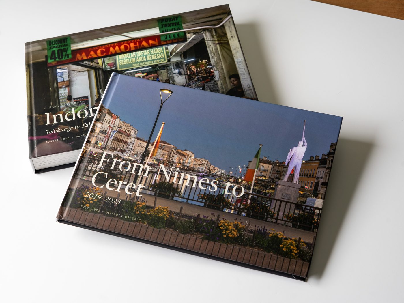
Two finished Travel Books with different covers, resting one across the other
297 × 210mm trim · A4 landscape · 11.7 × 8.3 in
300DPI, every page
3507 × 2480pixels per page
252pages at the largest size

We reconstruct the journey.
You decide what it meant.

The route, the timing, the places, the light — that part happens on its own. Which moment mattered most was always going to be your call.

Start your book

Built in your browser· Photos stay on your device· How privacy works