KR Maps
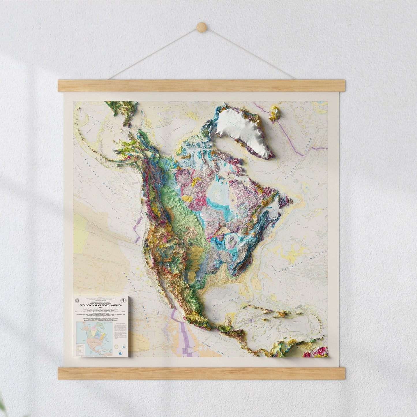
Map of the USA - 3D Relief - Geological - Terrain map - Poster Print
Map of the USA - 3D Relief - Geological - Terrain map - Poster Print
Couldn't load pickup availability
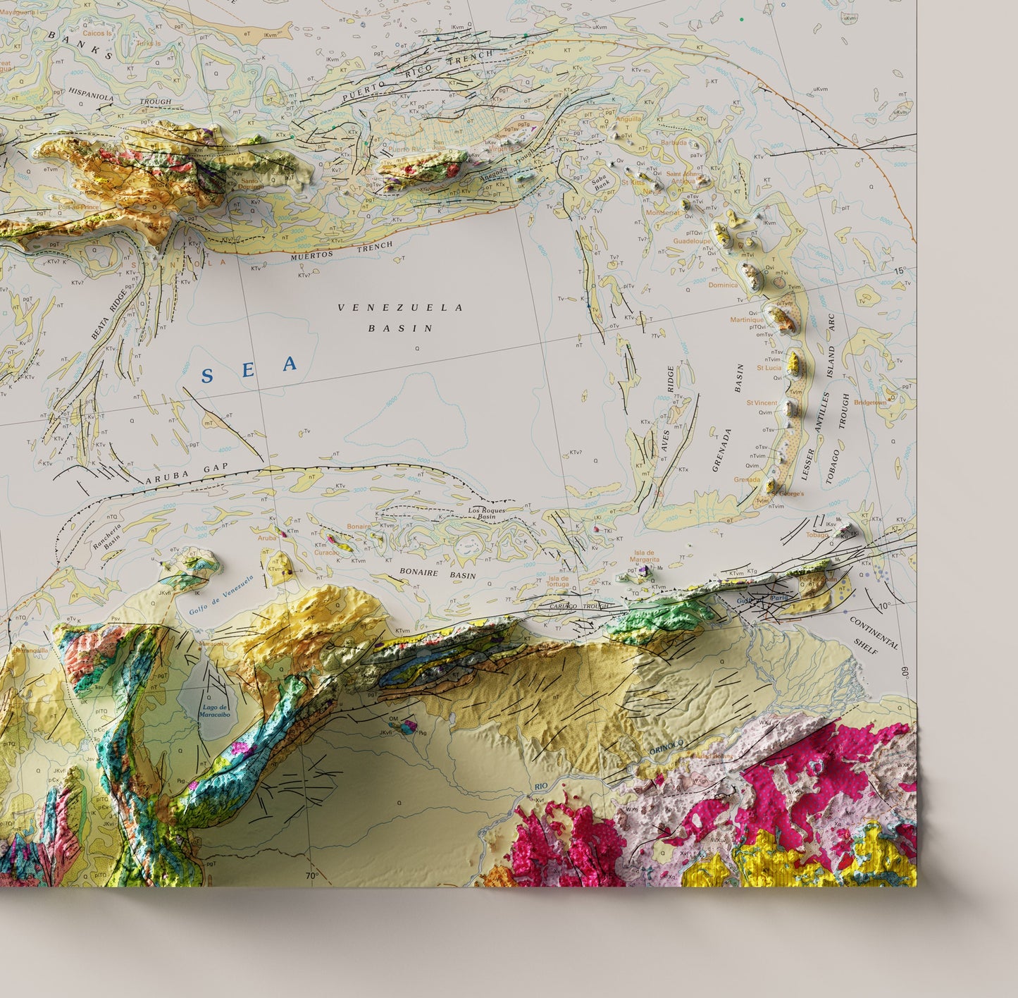
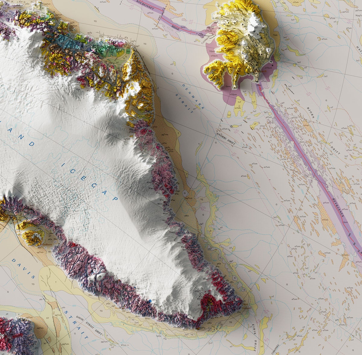
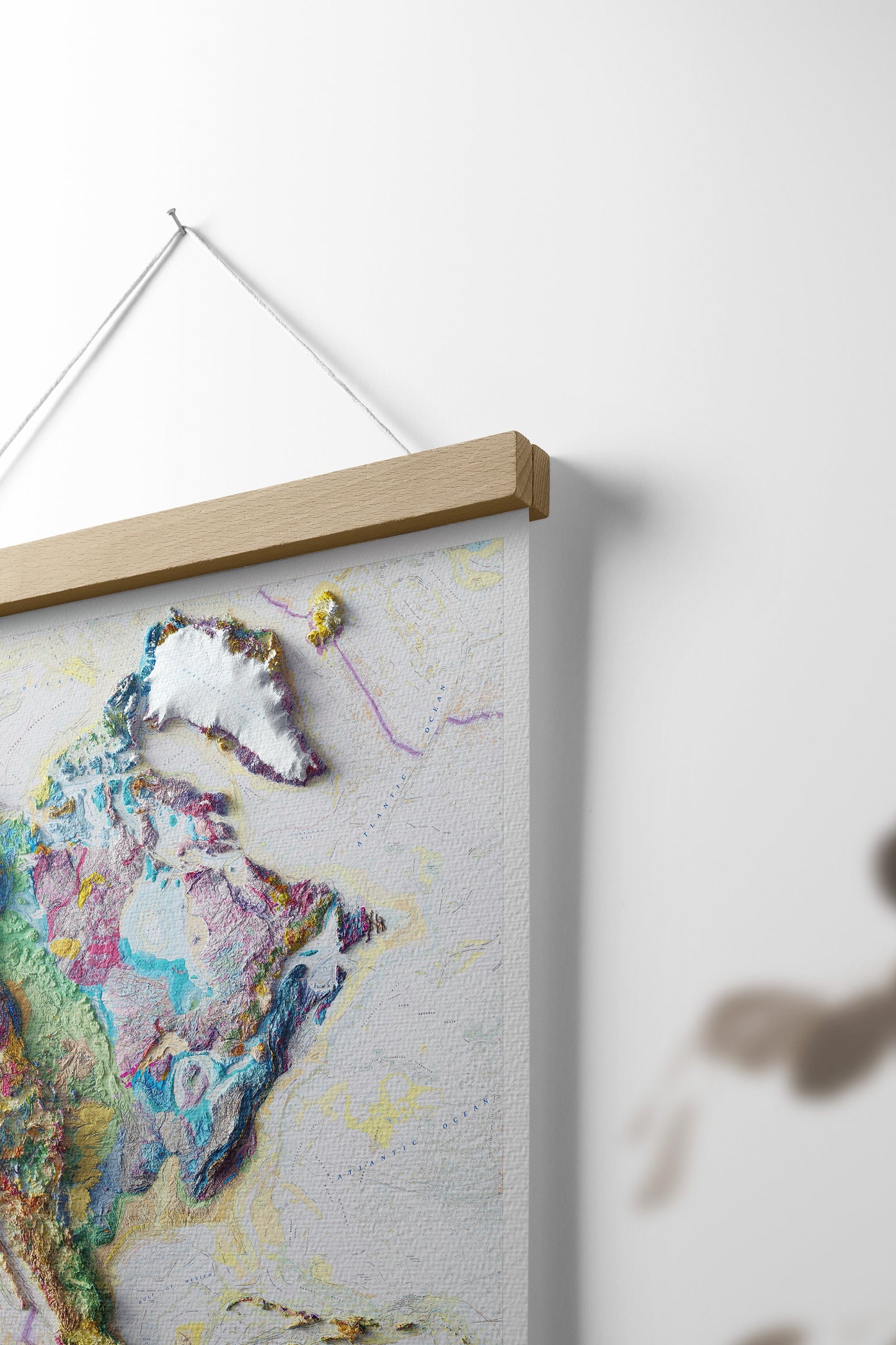
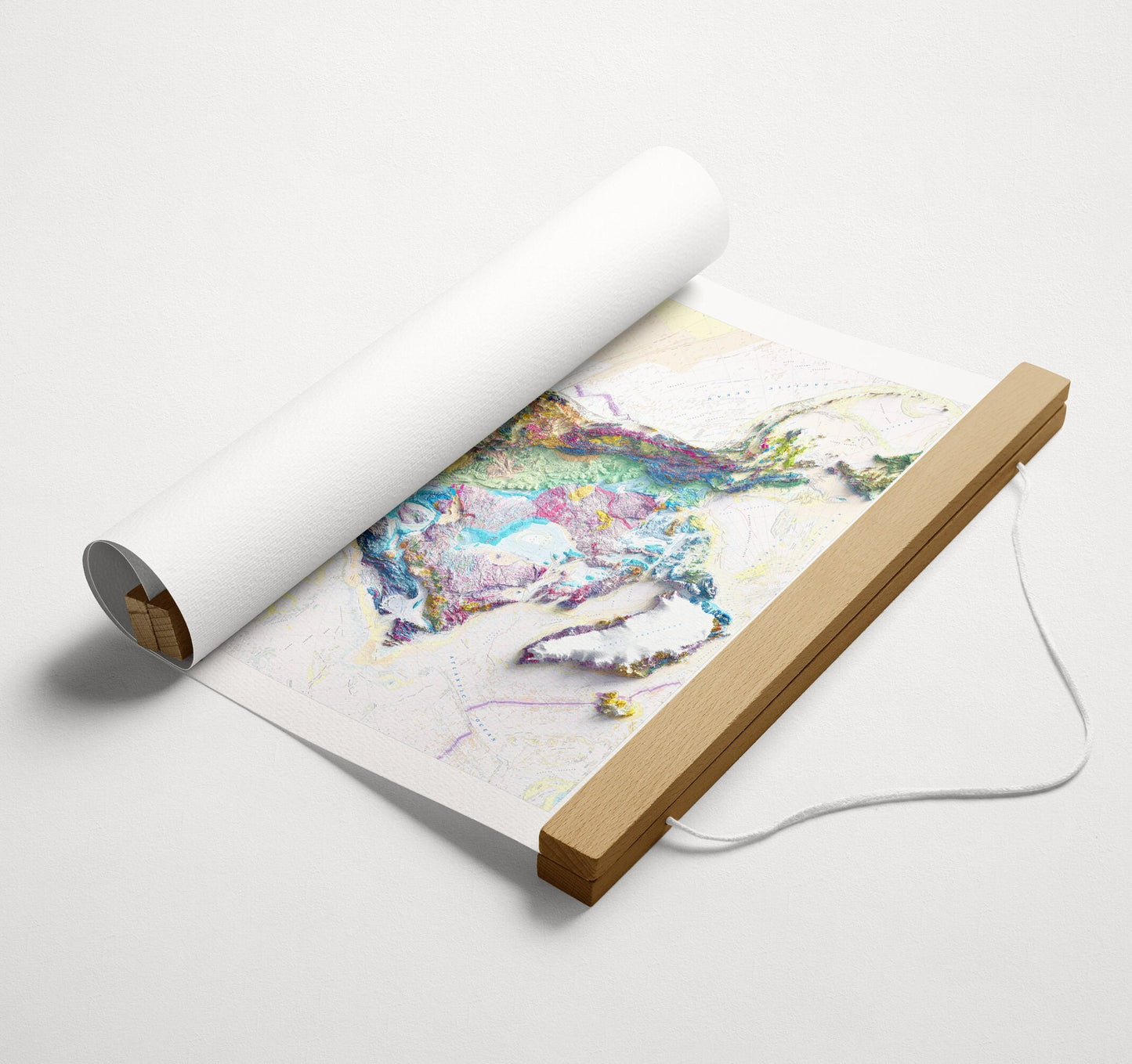
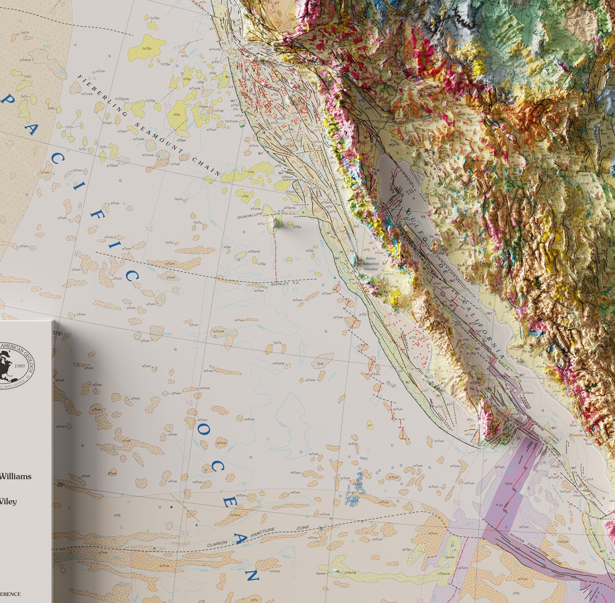
USA Map showing Geology and Topography. Shaded Relief generated to give a three dimensional look. Basemap is Geologic Map of North America from 2005
► DETAILS
---------------
Sizes
36"x36"
24"x24"
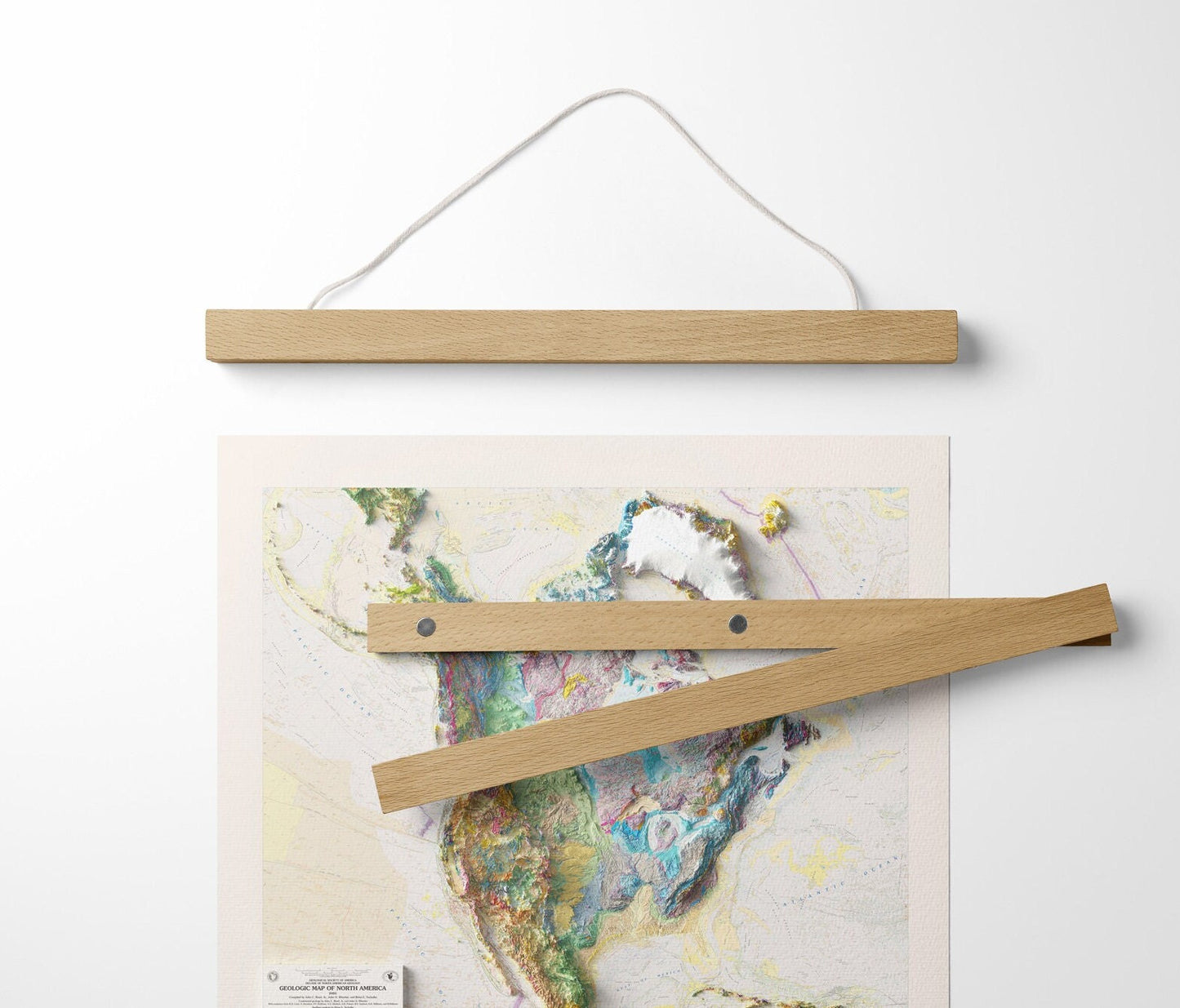
Wooden Hanging bar frames are an optional add-on that clamp to the top and bottom of the map magnetically. Comes with different types of string options for attaching the to wooden bars.
► DETAILS
---------------
This map is comprised of data that is up to date as of 2005 and is a custom USGS modifed projection.
Learn More about the USGS GMNA map from the National Geologic map database Website.
Compiled by John C. Reed, jr., John O. Wheeler, and Brian E. Tucholke
Continental Geology by John C. Reed, Jr. and John O. Wheeler
With assistance from K.D. Card, A Davidson, P.F. Hoffan, A.V. Okulitch, A.R. Palmer, B.V. Sanford, G.K. Williams, And H.Williams
Seafloor Geology by Brian E. Tucholke
with assistance from J. Dixon, A.F. Embry, T.L. Holcombe, E.P. Laine, G.S. Mountain, P. Popenoe, B.V. Sanford, and T. Wiley
Cartographic Design and conventional cartography by James E. Queen
Color Design by Jan Dennis
Digital Editing and gitial cartography by Will R. Settner, Linda Masonic, Alex J. Donatich, Nancy A. Shock, James E. Queen, and Geologic Data Systems, Inc.
Map Database coordinated by U.S. Geological Survey National Geologic Map Database
Elevation is shaded in a 3d enviornment using the sun's light to cast shadows in a non-standard way to create shadows that spill over the edge of the map to give the print a feeling of being three dimensional.
Comes with optional hanging bar frame that clasps onto the map magnetically.
Share
Fast delivery and great customer service.
