KR Maps
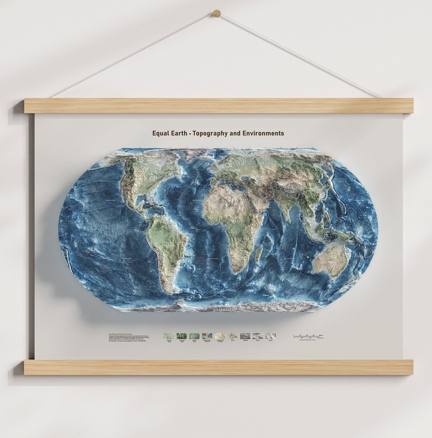
World Map - Equal Earth - Terrain and Elevation - Hydrography and Topography - Poster Print
World Map - Equal Earth - Terrain and Elevation - Hydrography and Topography - Poster Print
Couldn't load pickup availability
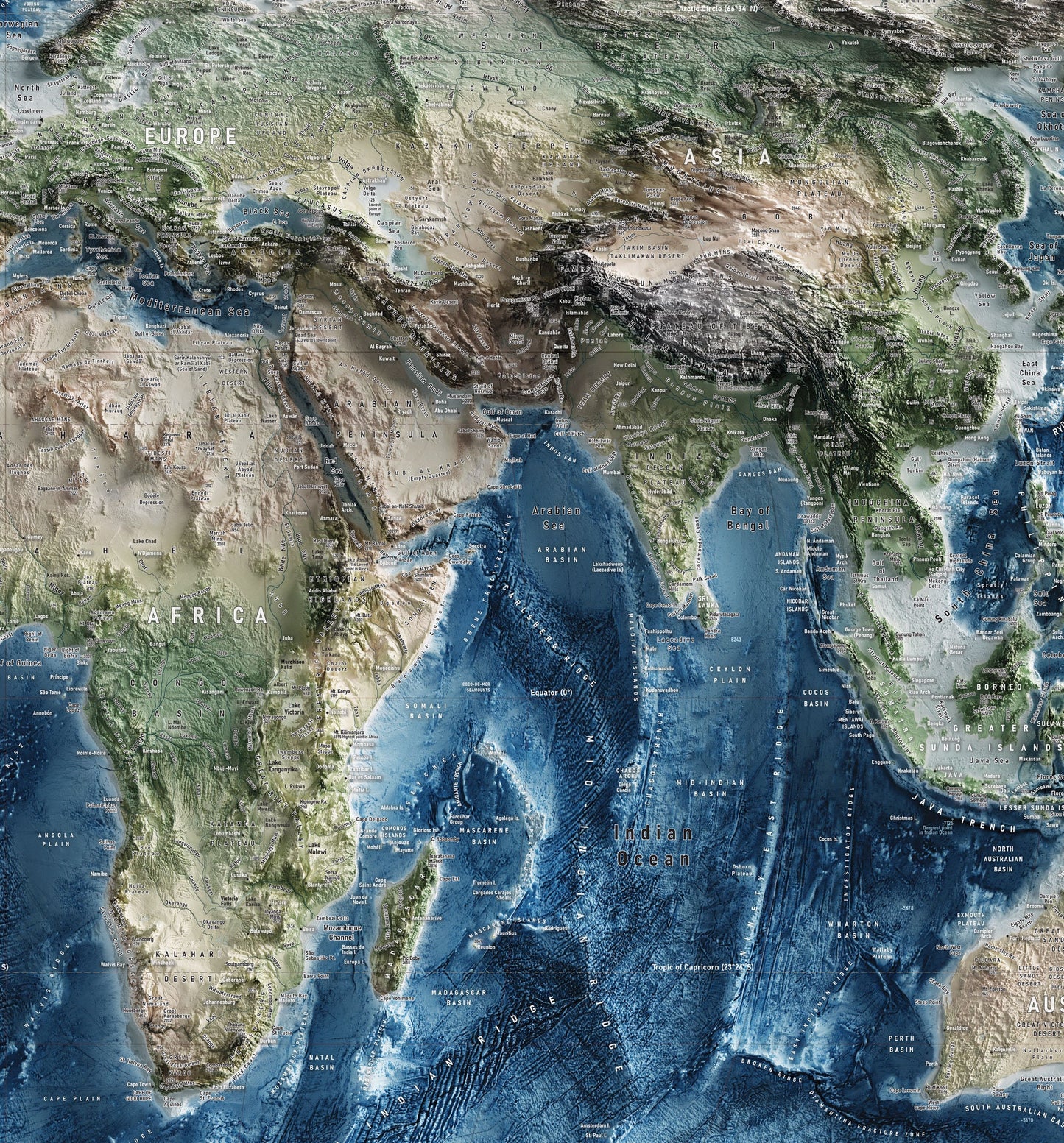
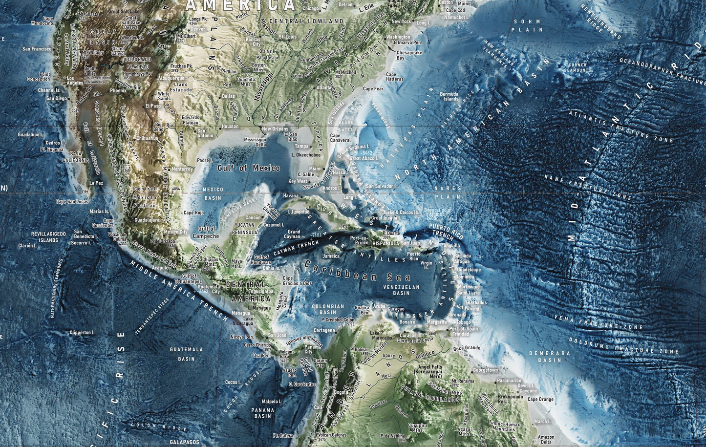
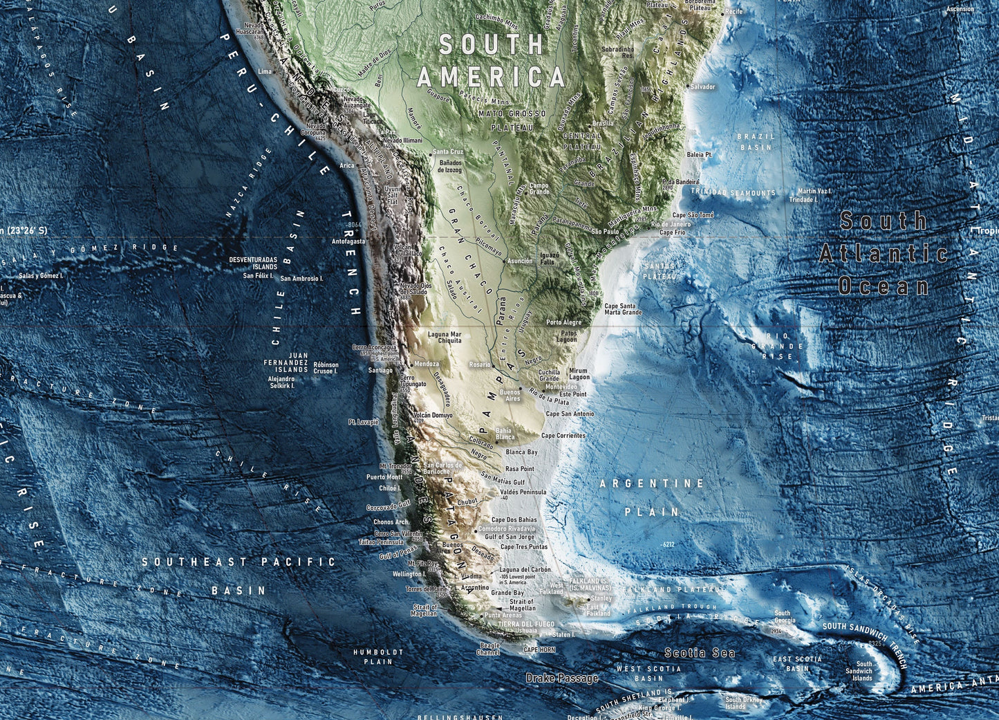
World Map showing the topology and hydrography of the world with true sizes of land areas relative to eachother. The rounded map sizes suggest the spherical form of earth.
► DETAILS
---------------
This map is comprised of data that is up to date as of March 18th, 2024
The Map is labeled with:
Deep ocean areas
Mountain ranges
Cities
Continents
Deserts
Glaciers
Islands
Rivers and Lakes
Elevations
The colors of the map are associated with
Forests
Vegetation
Grasslands
Savannahs
Deserts
Highlands
Tundra
Glaciers
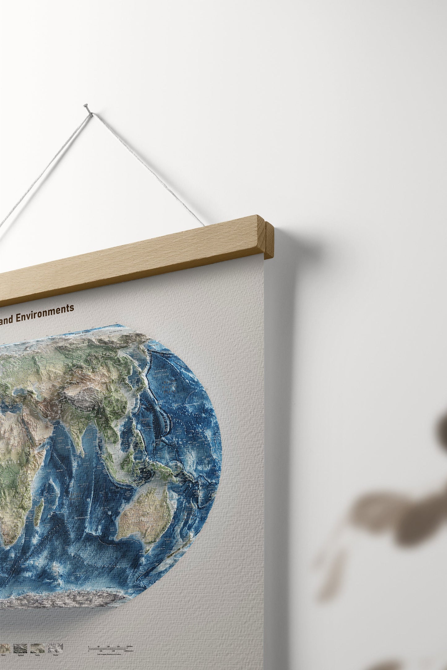
Elevation is shaded in a 3d enviornment using the sun's light to cast shadows in a non-standard way to create shadows that spill over the edge of the map to give the print a feeling of being three dimensional.
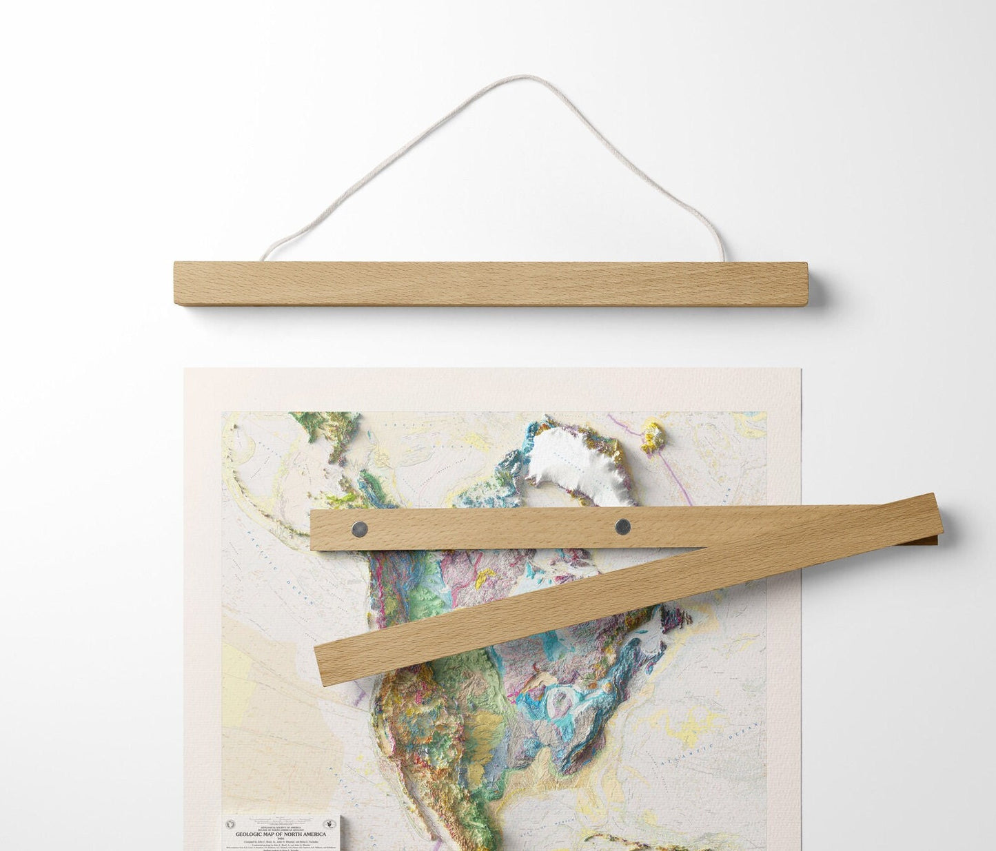
Comes with optional hanging bar frame that clasps onto the map magnetically.
Share

So beautiful! I wanted the poster in a bigger size and they made it happen!!
Beautiful, better than we expected.
The transaction was smooth and shipping was fast
