


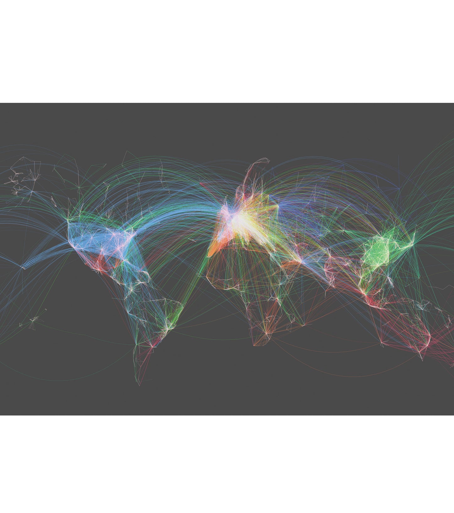
2014
The Original
Where it all started
The first KR Maps product. Built from over 60,000 real flight routes connecting 6,000+ airports — no borders, no labels. Just the raw data of where people fly, rendered as a single image


