


Custom Contour Map
Sizes and prices
| Size | Finish | Price |
|---|---|---|
| 11 × 14 in | White Oak frame | $119.95 |
| Dark Oak frame | $119.95 | |
| 13 × 19 in | Poster print | $24.95 |
| Foamboard Mounted | $49.95 | |
| 20 × 16 in | White Oak frame | $169.95 |
| Dark Oak frame | $169.95 | |
| 24 × 16 in | Canvas | $109.95 |
| 24 × 36 in | Poster print | $44.95 |
| Canvas | $159.95 |
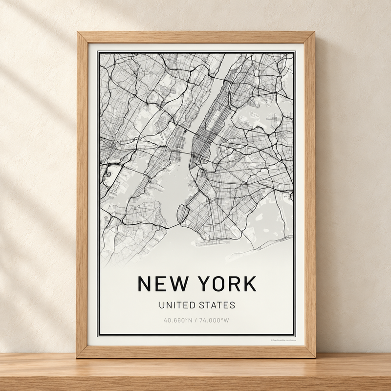
A map of any mountain, canyon or island as fine contour lines, printed to order. Search for the place, drag the map to frame it, then choose the lines, the colors, the words and the size.
What's on the map
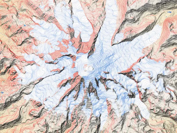
The shape of the ground, drawn from elevation data in one of two line styles. Shaded line is contour lines, heavier on the shaded side of the ground. Hatched is short strokes that thin out toward the light. Lakes, rivers and the sea are drawn in the colors you pick, and glaciers are drawn as ice. Roads, trails and place names are not drawn.
What it's printed on
- Poster print: heavyweight matte paper and archival pigment inks.
- Foamboard mounted: the same print mounted on 3/16" foamboard. It ships flat.
- Framed: a white oak or dark oak frame.
- Canvas: printed on canvas.
Questions
Can I make a map of a place that is not a mountain?
Yes. Search for any place. Where the ground is nearly flat there is little to draw, and the maker says so.
How much can the map show?
On a 13 x 19 poster, from about 2.6 miles across to about 160 miles across.
Will the print look like the preview?
Yes. The print is made from the same map at 600 DPI. On a close view the print can be a little finer than the screen, where finer elevation data exists.
Can I change the words?
Yes. Up to three lines under the map.
Can a link open the maker on a place?
Yes. Add the place to the address: krmaps.com/products/custom-contour-map?city=Mount%20Hood.
Where does the map data come from?
The elevation comes from Mapterhorn, an open collection of public elevation data. The lakes, rivers and coastlines come from OpenStreetMap, a map of the world made by volunteers.
Map data © OpenStreetMap contributors