Skip to product information
1 of 7

KR Maps

Flight Routes World Map | Global Air Traffic Patterns | Aviation Wall Art Poster

Flight Routes World Map | Global Air Traffic Patterns | Aviation Wall Art Poster

Regular price $29.95 USD
Regular price Sale price $29.95 USD
Sale Sold out
Shipping calculated at checkout.
Size
Quantity
Free delivery Order today · ready to ship in 3–5 business days
Quality promise
Fade-Free Color Guarantee
For life
Learn more
Hand-finished in Fort Collins, CO · Tracked delivery
What's Included
Flight Routes World Map | Global Air Traffic Patterns | Aviation Wall Art PosterMuseum-grade archival print
Archival pigment printing Rich, fade-resistant color
Current map data Borders & geography updated September 2025
Secure packaging & tracked delivery Arrives safe, ready to hang

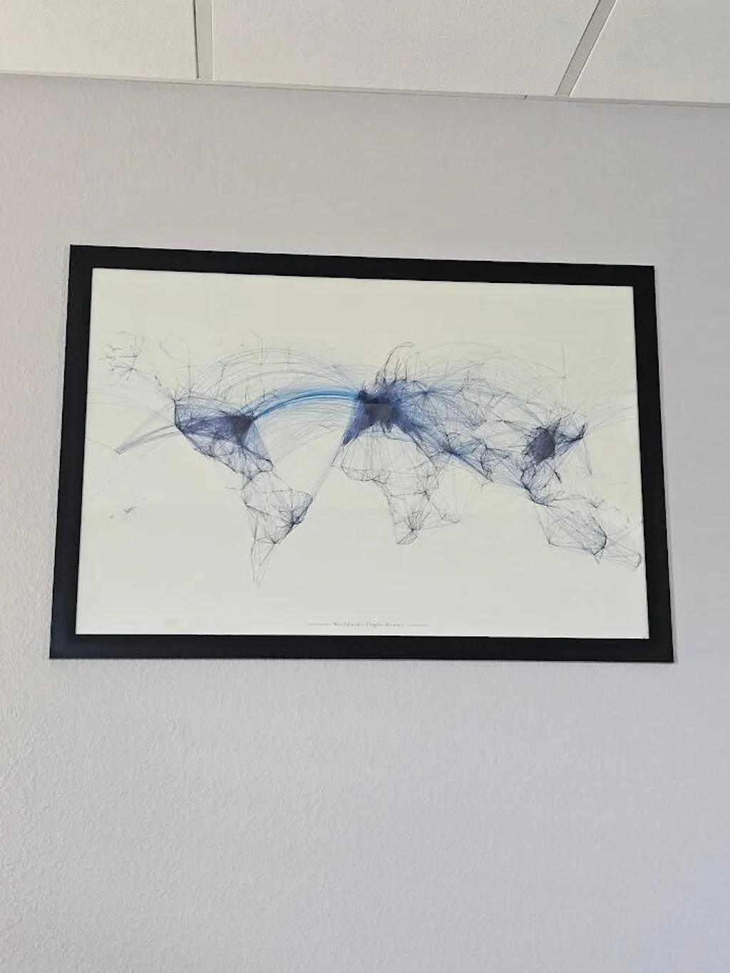
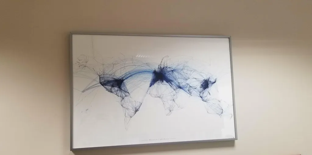
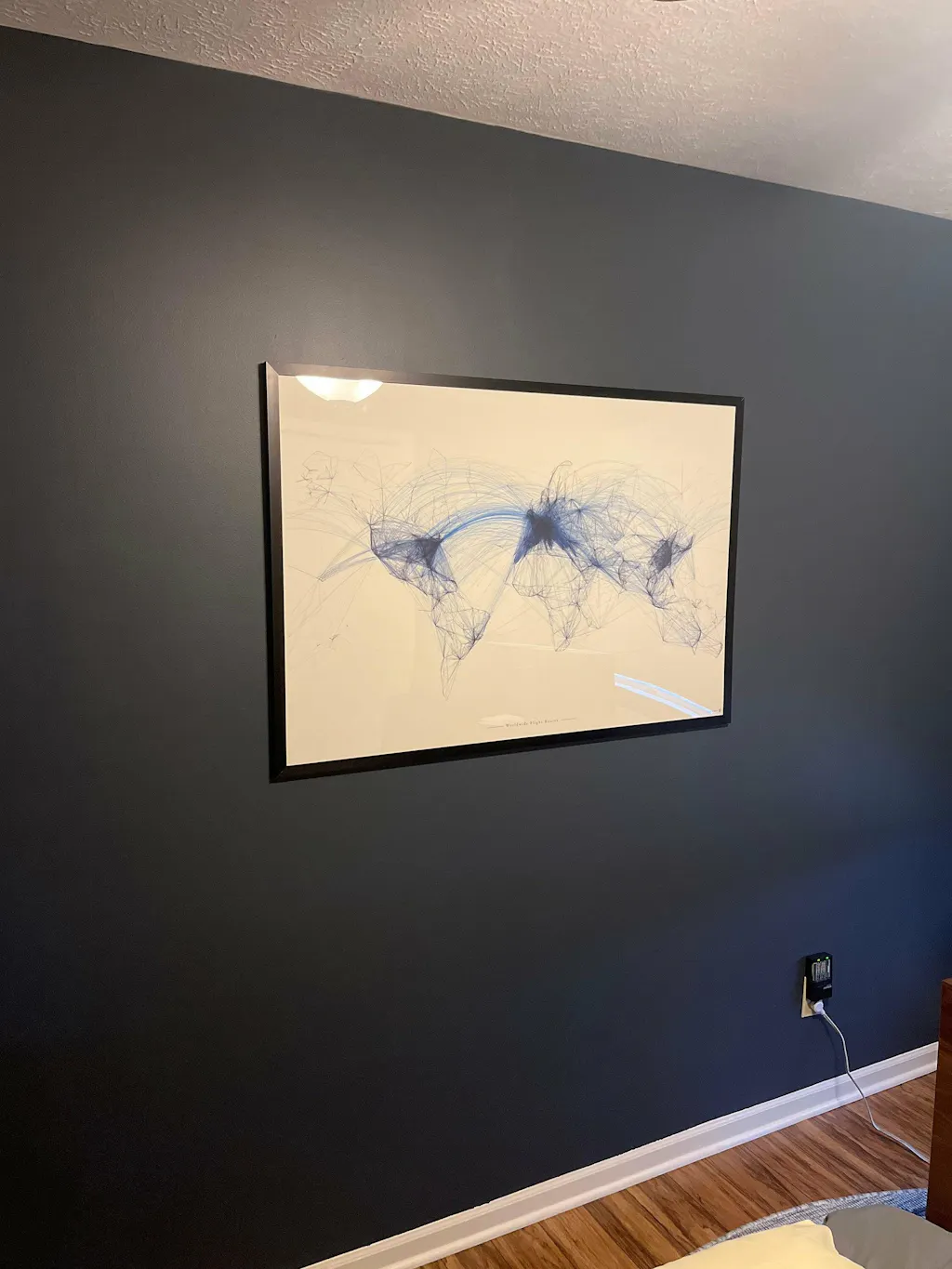
A stunning visualization of global air travel. Perfect for pilots, aviation enthusiasts, and anyone inspired by the scale of human connection.

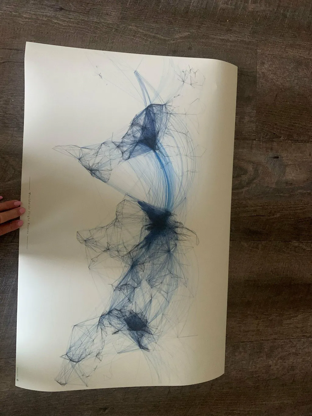
This map showcases over 60,000 real-world flight routes connecting more than 6,000 airports worldwide, forming a beautifully intricate network that reveals the rhythm of global movement.

Rather than relying on traditional borders, this design lets the world emerge naturally. Continents, countries, and major cities take shape through layers of flight density, line weight, and transparency. The result is a map that feels alive, dynamic, and endlessly detailed.

Look closer, and you’ll discover thousands of individual paths. Many of which can be visually traced from one destination to another, making it as engaging as it is visually striking.

Why You’ll Love It:

Unique aviation-inspired world map design
Features 60,000+ global flight paths
Over 6,000 airports represented
Borders formed organically through flight density
Incredible fine detail at both distance and close-up
A perfect gift for pilots, travelers, and aviation lovers

Print Details:
Each map is printed using high-quality pigment inks on thick matte paper, delivering rich contrast, sharp detail, and long-lasting color.

Print & origin

  • Printed with museum-grade pigment inks
  • Hand-finished in Fort Collins, Colorado
  • Lead time: 3–5 business days production

Map data

  • Borders & geography current as of September 2025
  • Annual edition — we re-issue regularly

See "What's in the box" above for the materials specific to your selected variant.

Made-to-order timeline

Order placed
Today
Production
3-4 business days
Ships via UPS Ground
3-5 business days
Delivered
Estimated 6-9 business days total

Estimated delivery: 6–9 business days total · Handmade to order in Fort Collins, CO

Returns

  • Every map inspected before shipping
  • 30-day return window on standard items
  • Tracking number provided via email · International shipping available
  • Damaged in transit? Contact us and we'll make it right

We print every KR Maps map with archival pigment inks rated for 100+ years under normal indoor display conditions. If your map ever fades, send us a photo and we'll replace it.

No questions, no expiry, no fine print. That's the Fade-Free Guarantee.

Read the full guarantee →

View full details
2014
The Original

Where it all started

The first KR Maps product. Built from over 60,000 real flight routes connecting 6,000+ airports — no borders, no labels. Just the raw data of where people fly, rendered as a single image