



KR Maps City Street Map
Paris Sketch Street Map Print

Your own words on this map
Change the words, move the map or pick another layout. Same sizes and prices.
Couldn't load pickup availability
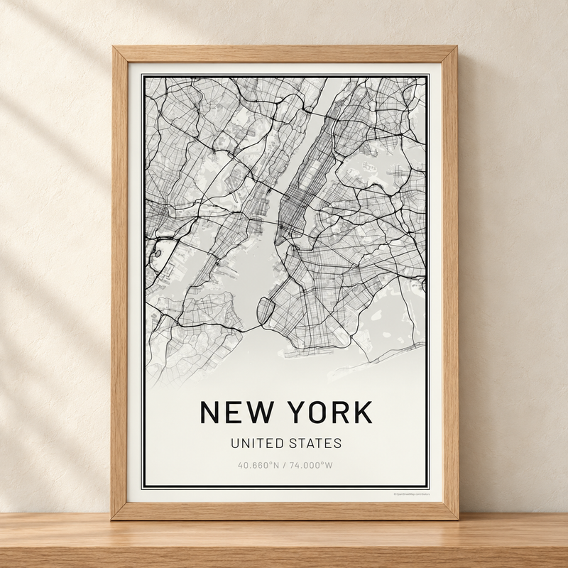
A street map of central Paris, France, drawn in our Sketch style: streets, houses and trees as if drawn by hand, in the Atlas colors: cream paper, terracotta streets, tan houses and jade water. Under the map it reads PARIS and FRANCE, with the coordinates 48.855°N / 2.347°E.
The map shows the heart of Paris along the Seine, from the Louvre and the Tuileries to the Île de la Cité and the Île Saint-Louis, with the Latin Quarter and the Marais.
Sizes and finishes
- Poster: 13x19" or 24x36" on heavyweight matte paper with archival pigment inks. It ships rolled in a tube.
- Foamboard mounted: the 13x19" print mounted on 3/16" foamboard. It ships flat.
- Framed: 11x14" or 16x20" in a white oak or dark oak frame with a glass front.
- Canvas: 16x24" or 24x36", stretched and ready to hang, 1¼" to 1½" deep.
Made to order in Fort Collins, Colorado.
Want other words, another spot or other colors? Personalize this map in our map maker, at the same sizes and prices. The whole city in 12 colors is our Paris Street Map Print.
Print & origin
- Printed with museum-grade pigment inks
- Hand-finished in Fort Collins, Colorado
- Lead time: 3–5 business days production
See "What's in the box" above for the materials specific to your selected variant.
Made-to-order timeline
Estimated delivery: 6–9 business days total · Handmade to order in Fort Collins, CO
Returns
- Every map inspected before shipping
- 30-day return window on standard items
- Tracking number provided via email · Ships within the United States
- Damaged in transit? Contact us and we'll make it right
We print every KR Maps map with archival pigment inks rated for 100+ years under normal indoor display conditions. If your map ever fades, send us a photo and we'll replace it.
No questions, no expiry, no fine print. That's the Fade-Free Guarantee.


